A project originally funded by the Royal Geographical Society (with IBG) with an Innovative Geography Teaching Grant to develop teaching ideas for using Google Earth in the Geography classroom, expanded to include ArcGIS Online in 2014
Showing posts with label MapStream. Show all posts
Thursday, May 05, 2016
New updated Mapstream page
A few years ago now, I wrote a whole suite of lessons for Edina's MapStream for Schools service. For those who don't know what this is, it's a streaming service for the Ordnance Survey's mapping. Unlike Digimap for Schools, which has a set of tools that come with it, this provides a stream of the maps themselves, which can then be visualised by another GIS tool, such as QGIS.
Check out the updated website… and the resources… and MapStream….
Labels:
Digimap for Schools,
EDINA,
MapStream,
Resources
Tuesday, April 23, 2013
Digimap for Schools MapStream - WMS for Google Earth
At the start of the year I finished off a project with EDINA, who operate the Digimap for Schools MapStream service, in association with the Ordnance Survey.
This is a little like the Digimap for Schools tool, but without the tools...
Subscribers to MapStream will find that they have access to the Ordnance Survey's mapping at the same scale as Digimap, but the difference is that they stream them into their own GIS software using a WMS (web mapping service) - this works with open-source options such as Quantum GIS, but also ArcGIS and even Google Earth (I was amazed when I first saw this in action...)
One advantage of this option is that the maps are streamed to your GIS as an extra layer, so there is no data storage / installation issue. Having said that, you need a reliable and fairly fast internet connection if you want the maps of course. The cost is much cheaper than Digimap, but you need to use the tools in your GIS client, rather than the ones provided by Digimap. This may require extra time on training how to use your chosen GIS package.
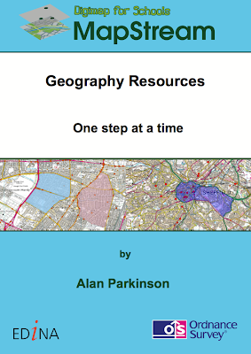
If you head over to the site, you will now find that there are the first of what will be a series of educational materials for teachers, available for free download. These are particularly designed for subscribers to the MapStream service.
I wrote the materials, the cover of one is pictured to the right....
Check them out.
Subscription is just £35 a year for a primary school and £50 for a secondary school.
I will be referring to this, as well as other mapping options in my GA CPD days which will take place in Birmingham at the end of May and London at the start of June.
This is a little like the Digimap for Schools tool, but without the tools...
Subscribers to MapStream will find that they have access to the Ordnance Survey's mapping at the same scale as Digimap, but the difference is that they stream them into their own GIS software using a WMS (web mapping service) - this works with open-source options such as Quantum GIS, but also ArcGIS and even Google Earth (I was amazed when I first saw this in action...)
One advantage of this option is that the maps are streamed to your GIS as an extra layer, so there is no data storage / installation issue. Having said that, you need a reliable and fairly fast internet connection if you want the maps of course. The cost is much cheaper than Digimap, but you need to use the tools in your GIS client, rather than the ones provided by Digimap. This may require extra time on training how to use your chosen GIS package.
If you head over to the site, you will now find that there are the first of what will be a series of educational materials for teachers, available for free download. These are particularly designed for subscribers to the MapStream service.I wrote the materials, the cover of one is pictured to the right....
Check them out.
Subscription is just £35 a year for a primary school and £50 for a secondary school.
I will be referring to this, as well as other mapping options in my GA CPD days which will take place in Birmingham at the end of May and London at the start of June.
Labels:
Digimap for Schools,
EDINA,
MapStream,
Web Mapping Service
Subscribe to:
Posts (Atom)


