Google has been working in the favelas of Brazil to produce a virtual fieldtrip experience which, with the Olympics about to start in earnest (some events have already started) is well worth taking a look at. Thanks to Ben Hennig for the tipoff to this resource.
Favelas are being mapped because "a big part of having an identity is having an atlas".
They are not just a place, they are a people, and to fully understand them, you must go inside...
This is colourful and is well worth experiencing (make sure that you wear your headphones when you do)
A project originally funded by the Royal Geographical Society (with IBG) with an Innovative Geography Teaching Grant to develop teaching ideas for using Google Earth in the Geography classroom, expanded to include ArcGIS Online in 2014
Showing posts with label Favelas. Show all posts
Friday, August 05, 2016
Saturday, November 04, 2006
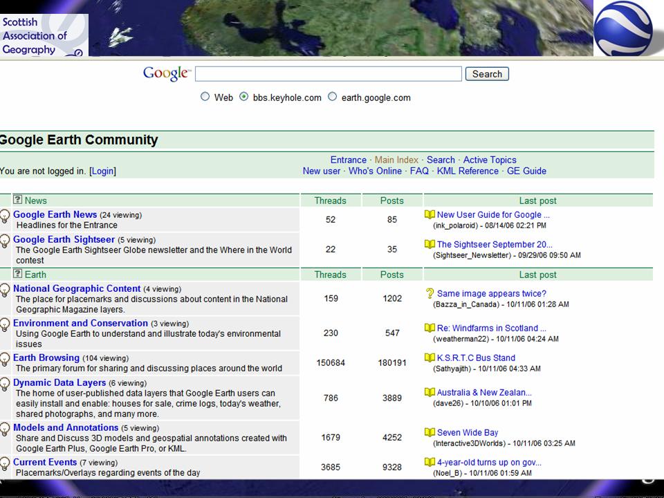
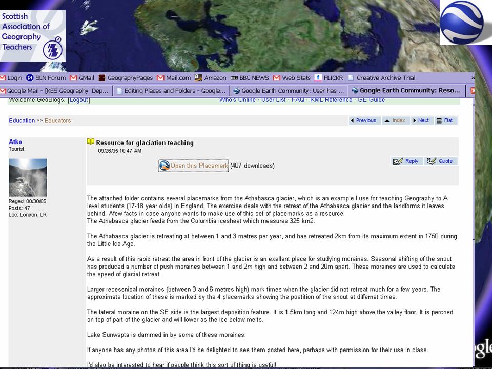
SAGT Presentation Slides 33-36

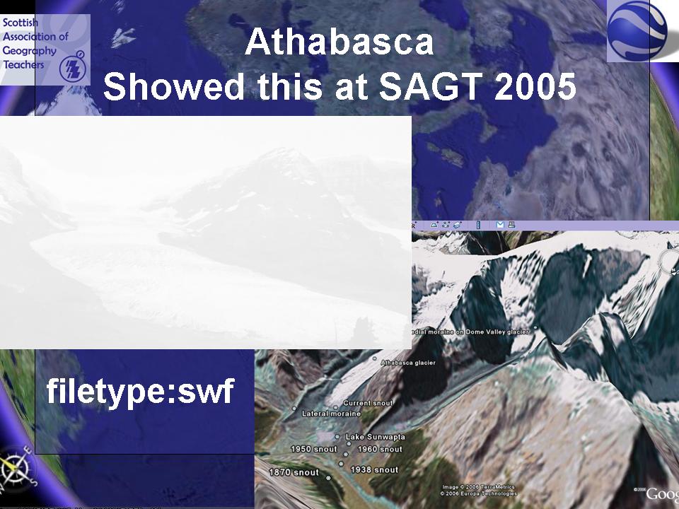
This demonstrates the use of the Athasbasca glacier file I demonstrated in my ragbag of ideas at SAGT 2005 (a sort of precursor of Ollie's presentation this year) - also the old Google search tip of filetype:swf to find the FLASH animations.

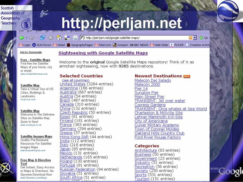
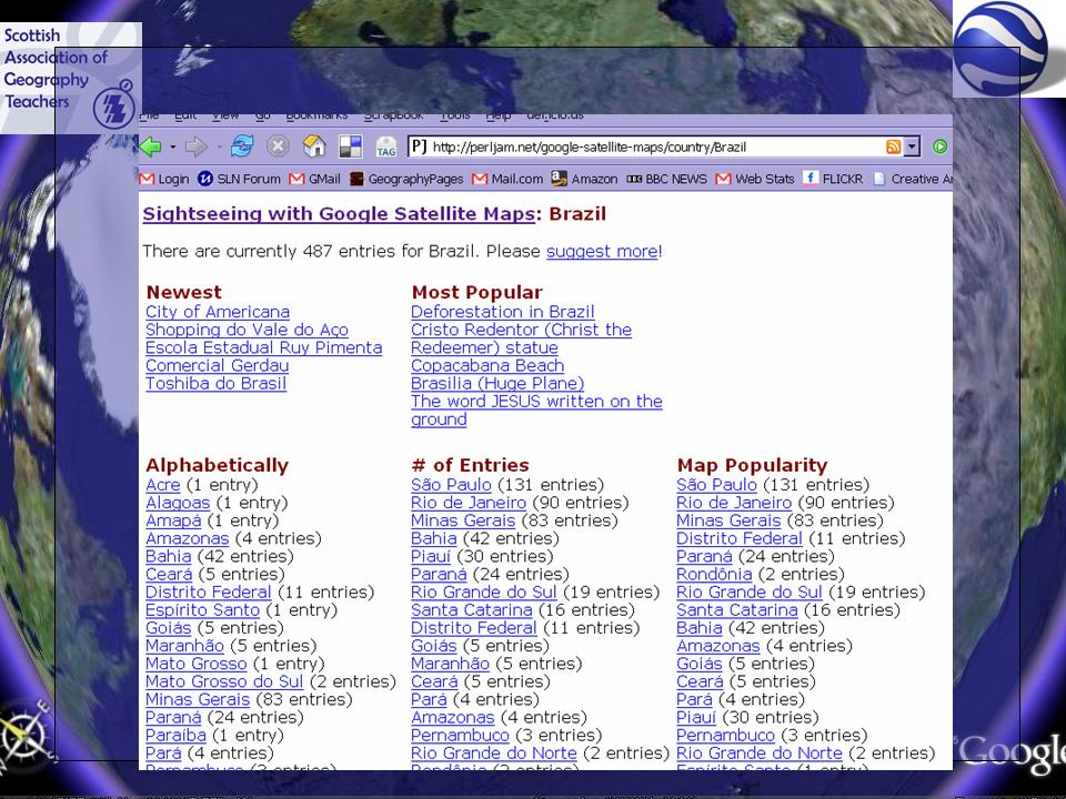
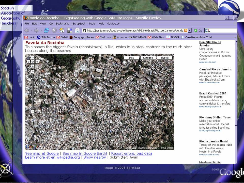
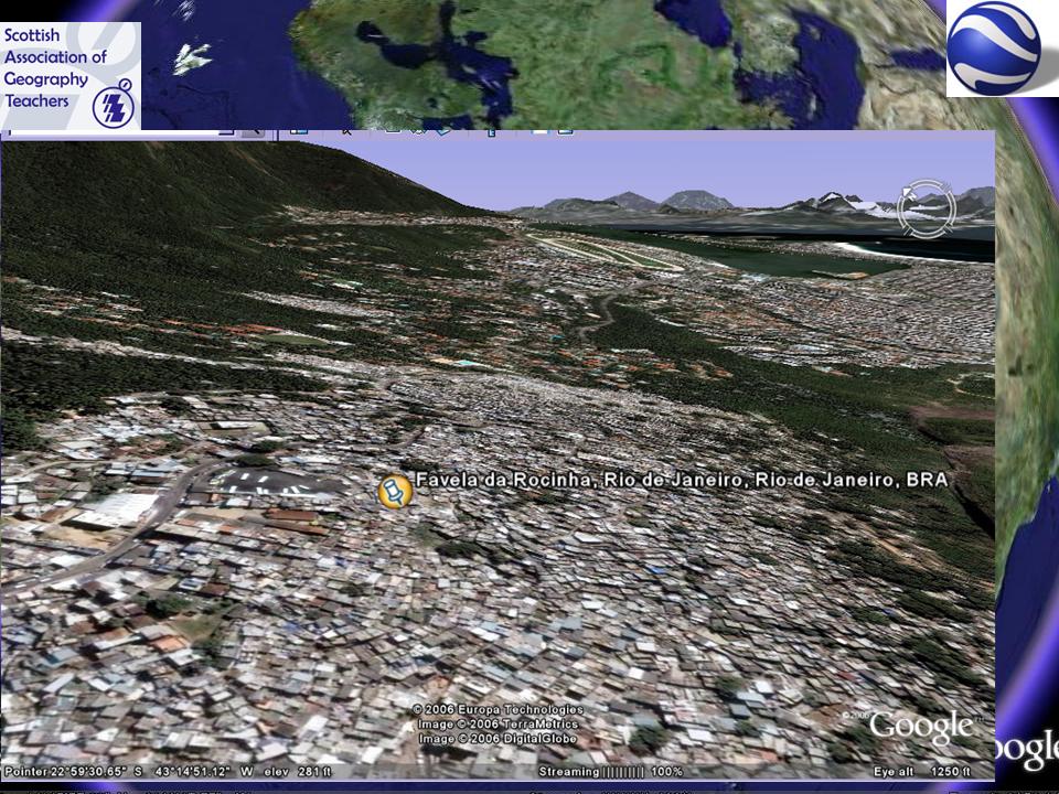
I then showcased some excellent images which were provided by Marie Hart of Barnwell School, Stevenage. She took a favela tour of Rocinha in Rio de Janeiro, and I then thought about how to use those to create a favela tour in Google Earth. It also showed the website PERL JAM, which contains hundreds of excellent maps of cities around the world which can also be shown in Google Earth.
Labels:
Athabasca Glacier,
Favelas,
Keyhole Bulletin Board,
Placemarks,
SAGT
SAGT Presentation Slides 41-44
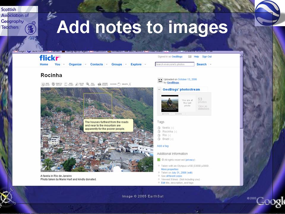
How to add the Favela picture ? Using FLICKR to host the image. FLICKR also allows the use of notes on images to add more detail. Students could be asked to add notes to images. Perhaps as tracing or OHT overlays, or using callouts in Word if FLICKR is blocked (as it is at my school)


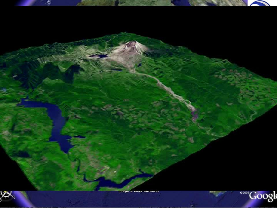
This is a movie flight around Old St Helens. Movies are best done in the form of a tour as the flight can then be controlled and the views that are required can be set up in advance.
Subscribe to:
Posts (Atom)