Quick example of building a lesson idea, based on the River Severn.
Search 'River Severn KML '
Uncovers files for the source of the Severn and the Plynlimon catchment. This is where the river starts, before it heads off on its long journey to the sea.
Go to BBC Learning Zone and find a clip on the River Severn from source to sea or explore the Upper course of the river
Has a helicopter shot over the moors near the source - could recreate that in Google Earth as a tour as one 'challenge'.
Put together a set of shots that the helicopter pilot has to film, and recreate those as tours, or find the locations and add them into Google Spreadsheet Maker 2.0 to create placemarks along the route.
What will students discover about the course of the River Severn ? It starts by heading in the opposite direction to the one that it eventually takes ? Can they discover why it changed direction ?
Students to investigate the way that the landscape changes as they move along the route, or explore examples of the ecosystem services that the river provides.
Identifying river features from the air.
Adding in some other land uses and evidence of how people are using the river. How has the river changed by the time it has passed down to the lower course ?
Use the measurement tool to see how the width has changed over that time.
Drag in the Environment Agency website data to see what the usual and current levels of flow are at various points along the river.
Sourcing CC images - perhaps making use of GeoGraph for these
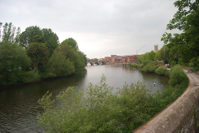
e.g. this image of the Severn near Ribbesford Woods.
Click to get the location of the image - add in the extra figures of the grid reference.
Use NEARBY to convert to lat long
Can also get a lat long if you know where the location is by switching to Google Maps. Right click on a location and select What's Here, or look bottom right in Google Earth to see it displayed.
Can also save images from searches on Geograph - KML files can be generated of groups of images, or those around an area. These could be saved and form the basis for some investigation.
Carry out a SEARCH on GEOGRAPH and look for the KML link at the bottom of the search returns page.

An overview of the River Severn here.
Look for changes to the course using the NPE MAPs link which shows old maps. Has the route altered as a result of management...
What else could be added here ?
Image: Alan Parkinson
No comments:
Post a Comment