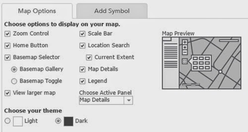
As part of the recent December update to the software, ArcGIS Online now has a range of new features, which are summarised here.
One of them is the addition of catchment area calculations, and also downstream channel plots.. Tried this out for a local river and it worked well...
Also extra options for how maps are formatted for embedding on pages, and a new dark canvas basemap, which I like...
Here's a trial map of London
It's interesting timing given the withdrawal of the Google Earth API that one of the most interesting additions is the 3D Scene Viewer option.
Head here to find out more about it... one of my holiday plans is to get stuck into that and see what's possible...

No comments:
Post a Comment