Jerry Brotton programme can be listened to on BBC Sounds.
From paper to pixels... Mapping of the Coronavirus as an example of why it is important...
A good input from Ed Parsons on the dynamic nature of digital mapping and the change in map projection - from Mercator close in to a globe zoomed out. Google Earth as "a browser for the planet". This also shows no national borders... and referencing Tobler's first law of Geography.
Plenty of other good contributions as well.
Apple and Google worked together on a contact tracing app.
References 'Powers of 10' which I use to explore scale, and 'Earthrise'.
Reference to the Ordnance Survey's origins as well, and its military origins, and the US military's involvement in Keyhole - the forerunner of Google Earth. Earth Observation Satellite programme was also called Keyhole.
"Surveillance capitalism" is a useful phrase for some of the work of these large organisations in a book by Shoshona Zuboff.
It also mentionsWilliam Morgan's vast map of London.
Mentions the commercial information which blocks out some other information on the map.
A map of the human population is being created by our interactions with these digital maps. Counter-mapping is challenging this work.
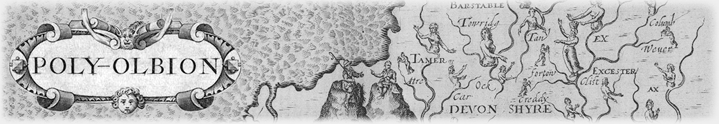
Interested to read about Poly-Olbion
And the work of Stephen Walter of course.
Finishes with Borges 1:1 scale map of the Empire. The only truly accurate map, but its size makes it useless... All maps pursue certain agendas and define the way in one way rather than another.
Corporations are mapping the world....
Don't give up completely on the paper map.
Well worth listening to.
No comments:
Post a Comment