Showing posts with label Geographical information. Show all posts

Saturday, January 11, 2025

SHIFT podcast with Jack Dangermond of esri


Listen to the SHIFT podcast which features an interview with Jack Dangermond, founder of esri. He is the President of esri.

From deciding where to build a new business, airport or fire station, to understanding the potential impact of decisions regarding conservation or governance, people make billions of maps everyday using GIS. 

We explore the history and evolution of this tech with one of its pioneers, in the latest instalment of our oral history project.

He is clear that "geography is everything!"


A few points that Jack makes:
  • Between 4 and 5 billion maps are made on esri's platforms every day.
  • GIS digitises geography and puts it into a geographical frame.
  • Organisations are run by geography.
  • Do analytics of the geography behind the maps.
  • GIS tools help frame the decision making they do.
  • FEMA and other emergency departments use the tools to plan the response to hazards
  • Roger Tomlinson invented the term GIS
  • Talks about getting his customers together and working out what they could develop as a product
  • esri has 680 000 customers... when they started they had single digit numbers of customers
  • A third of revenue is spent on advancing products and R&D
  • UPS saved hundreds of millions of dollars from rerouting their vehicles
  • Helped with EBOLA 
  • 1.3 trillion maps were created showing the spread of COVID19 around the world
  • "Geography is everything"
Find out more here.

Saturday, May 07, 2016

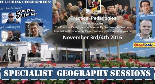
Early bird still open for Practical Pedagogies 2016

I was due to present at the first running of this event last year, but was unable to go as it clashed with my trip to Iceland, and return to full-time teaching, so had to pull out.

Russel Tarr has pulled together another excellent programme of events which will take place in the first week of November, and this time I can make it. In fact I'm already booked for my flights, and my colleague Claire is coming along too, which is a bonus!
Just got to sort my accommodation now.

I will be presenting at Practical Pedagogies 2016.

EARLY BIRD BOOKINGS ARE NOW AVAILABLE

The full programme is HERE.

My session is called 'The Power of Geographical Information', and is described below:
The Power of ‘Where’: Geographical Information in the curriculum

Geography is an academically robust subject which spans the social and physical sciences and promotes a lifelong interest and fascination in how the world works.
Nicholas Crane, President of the Royal Geographical Society
Abstract

Geographers are interested in spatial patterns, and the growing availability of, often real-time, location based information brings new depth to teaching geography. Students don’t only consume this information, but they also produce it themselves, and it is also used after natural disasters to aid the relief effort.

The workshop will explore how this renewed focus on the ‘where’ can bring new ideas to teach familiar topics, but also broaden these activities into other curriculum areas. It will include ideas from several ERASMUS-funded projects, a resource on transport geographies, a project for the British Red Cross and work completed in the classroom by pupils.

So there'll be plenty on digital mapping and its use in the classroom.

You’ll leave the session with some practical pedagogical resources to adopt and adapt, and ideas for personal innovation, as well as introducing some free tools and mobile apps.


Matt Podbury has shared some of the other Geography names who will be presenting at the event over on his fine GeographyPods site.

See you there?