It's already been blogged about in loads of places, but there is a new version of Google Earth which adds Street View, imagery dating, day-night shadows etc...
Ollie Bray has produced a useful post summarising the key points, so I'll leave it to him to tell you. Click the link to discover the latest...
Showing posts with label Updates. Show all posts
Showing posts with label Updates. Show all posts
Wednesday, April 16, 2008

Sunday, June 03, 2007
Updates and Norfolk in high res finally....
New update for June
Just updated to latest version of Google Earth (always good to have an up to date version)
Thanks to Noel Jenkins for reminding me of this update.
The big news though is that there is now high quality imagery of Norfolk on Google Earth, and it includes my home village and the place where I work.
There is one issue though: the age of the images that are used.
The ones of my village are at least 5 years old and possibly nearer 7.
The ones of my school are about the same age, as they show a number of missing details. In fact: one of the tasks I might do with my groups next week is to play a SPOT THE DIFFERENCE game for the local area.
Here is an image of my brother in law's house in Norwich for example - I think that's his car, so they are within the last 5 years or so: Here is one of my house - and some neighbours:
 And here is one of the school where I work...
There appears to be a missing TESCOS !
Another piece of news on GEARTHBLOG was about a recent Developers' Day where it was announced that Google has acquired PANORAMIO: the source of million plus images in Google Earth.

Just updated to latest version of Google Earth (always good to have an up to date version)
Thanks to Noel Jenkins for reminding me of this update.
The big news though is that there is now high quality imagery of Norfolk on Google Earth, and it includes my home village and the place where I work.
There is one issue though: the age of the images that are used.
The ones of my village are at least 5 years old and possibly nearer 7.
The ones of my school are about the same age, as they show a number of missing details. In fact: one of the tasks I might do with my groups next week is to play a SPOT THE DIFFERENCE game for the local area.
Here is an image of my brother in law's house in Norwich for example - I think that's his car, so they are within the last 5 years or so:
 Here is one of my house - and some neighbours:
 And here is one of the school where I work...
There appears to be a missing TESCOS !
Another piece of news on GEARTHBLOG was about a recent Developers' Day where it was announced that Google has acquired PANORAMIO: the source of million plus images in Google Earth.

Sunday, January 07, 2007
Google Earth Images
Meant to post about this a while ago, but just playing catch up.
Article in The Observer in November 2006 about how London is gaining an advantage over other cities in the UK (and exerting its primacy ?) because of the quality of images on Google Earth is much better in the capital than in other parts of the country.
London's images have up to date buildings whereas those in Liverpool, Birmingham, Manchester are still without...
In Liverpool, they reckon the images used were taken around 2001, whereas the new Arsenal stadium is visible in London. The Urbis centre is missing from Manchester for example, and neither is the new Bull Ring in Birmingham.
Google Earth spokesperson Rachel Whetstone said:
"We can only update things as soon as we have the data", and they rely on third party external companies for the data.
Keep an eye out for more updates to come.
Remember that Frank Taylor's GEARTHBLOG is probably the best place to look for news of these...
Article in The Observer in November 2006 about how London is gaining an advantage over other cities in the UK (and exerting its primacy ?) because of the quality of images on Google Earth is much better in the capital than in other parts of the country.
London's images have up to date buildings whereas those in Liverpool, Birmingham, Manchester are still without...
In Liverpool, they reckon the images used were taken around 2001, whereas the new Arsenal stadium is visible in London. The Urbis centre is missing from Manchester for example, and neither is the new Bull Ring in Birmingham.
Google Earth spokesperson Rachel Whetstone said:
"We can only update things as soon as we have the data", and they rely on third party external companies for the data.
Keep an eye out for more updates to come.
Remember that Frank Taylor's GEARTHBLOG is probably the best place to look for news of these...
Friday, November 24, 2006
Image Update and some useful sites for educators
Stefan Geens over at OGLE EARTH has given notice of a recent image update which adds high quality imagery to some areas of the UK as well as some other useful locations - particularly interesting is the imagery of Darfur, plus 6 high-resolution regions in the UK (Bridgend, Cleveland, Dundee, Plymouth, Poole, Rochford)
Check out OGLE EARTH for a detailed lists of sites (including my own page), Noel's etc.
A reminder that Noel has now updated his JUICY GEOGRAPHY page to a nicely set out blog format. Some very good GUIDES to print off (including WINK presentations to demonstrate how to perform some of the tasks...)
Also, over at ROBLOG there is the return of the Autumn leaf colour tracked which I have featured at SAGT for the last 2 years... A good piece of work !
Check out OGLE EARTH for a detailed lists of sites (including my own page), Noel's etc.
A reminder that Noel has now updated his JUICY GEOGRAPHY page to a nicely set out blog format. Some very good GUIDES to print off (including WINK presentations to demonstrate how to perform some of the tasks...)

Also, over at ROBLOG there is the return of the Autumn leaf colour tracked which I have featured at SAGT for the last 2 years... A good piece of work !
Saturday, November 04, 2006
Google Earth Users Guide Project
This project was funded by the Royal Geographical Society (with IBG) using an Innovative Geography Teaching Grant.
It was given funding in November 2005, and work has continued through the following 12 months. The next section of the blog below features the 100+ slides which made up the 2 x 50 minute presentations which I delivered at the University of Dundee in October 2006 as part of the Scottish Association of Geography Teachers Conference.
Enjoy the slides. I will add annotations to most of them.
Other people who were at the conference have also posted materials online, notably OLLIE BRAY and Rob Chambers, who was unfortunately unable to attend owing to serious illness while in Kenya. See the weblinks down the right hand side of the weblog.
Enjoy the presentation, and note that there is now an even newer version of Google Earth than the one I mentioned at the weekend, which features the ability to add lines and polygons to images, which was previously a feature only found in Google Earth Plus.
It was given funding in November 2005, and work has continued through the following 12 months. The next section of the blog below features the 100+ slides which made up the 2 x 50 minute presentations which I delivered at the University of Dundee in October 2006 as part of the Scottish Association of Geography Teachers Conference.
Enjoy the slides. I will add annotations to most of them.
Other people who were at the conference have also posted materials online, notably OLLIE BRAY and Rob Chambers, who was unfortunately unable to attend owing to serious illness while in Kenya. See the weblinks down the right hand side of the weblog.
Enjoy the presentation, and note that there is now an even newer version of Google Earth than the one I mentioned at the weekend, which features the ability to add lines and polygons to images, which was previously a feature only found in Google Earth Plus.
SAGT Presentation Slides 9-12

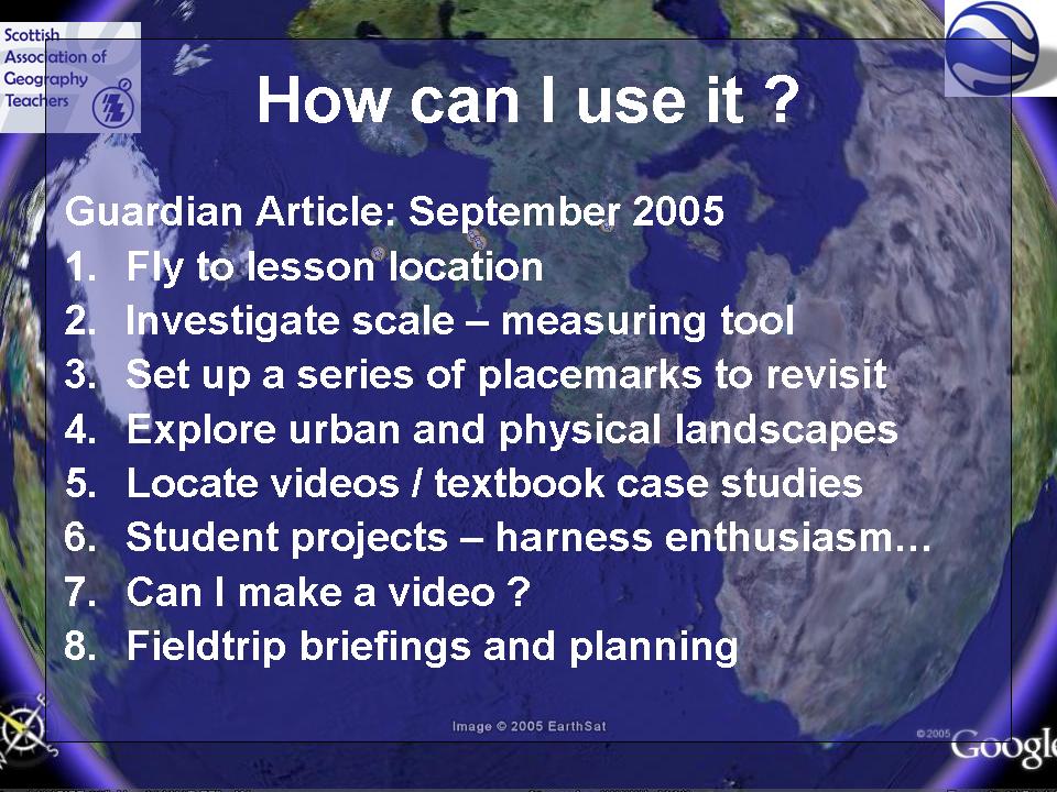 I had an article featured in The Guardian's Brainstrust section explaining how I used placemarks to fly students to the location of the lesson.
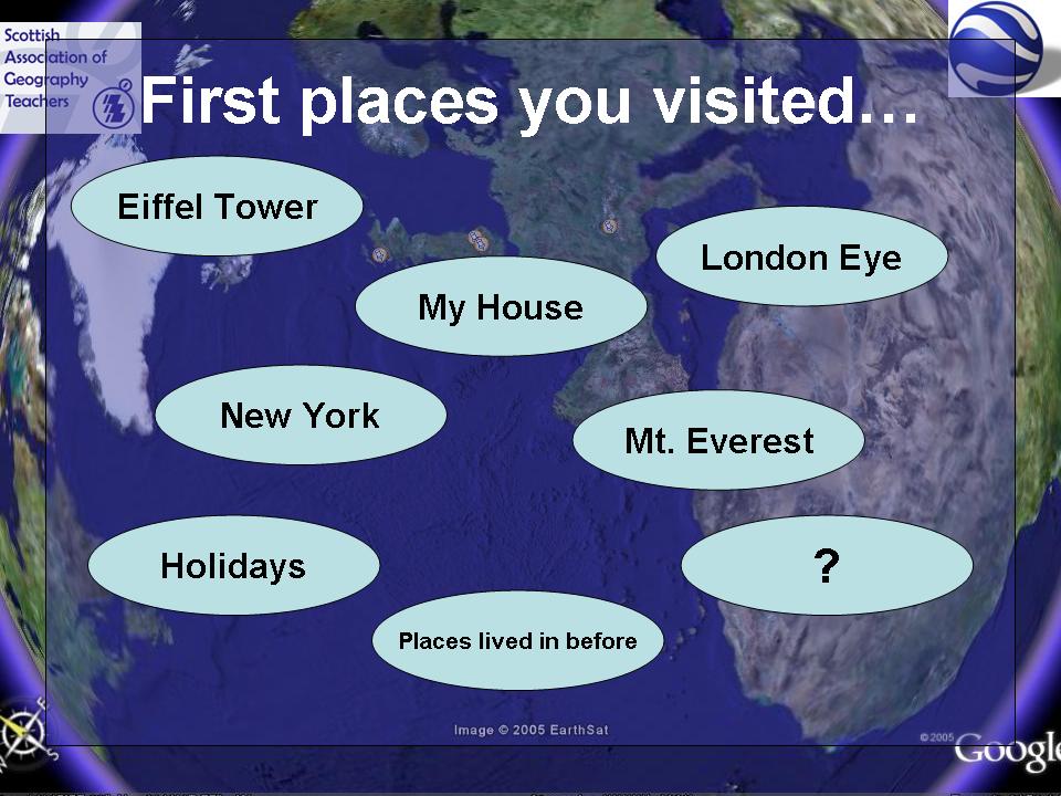 Where were the first places you visited ??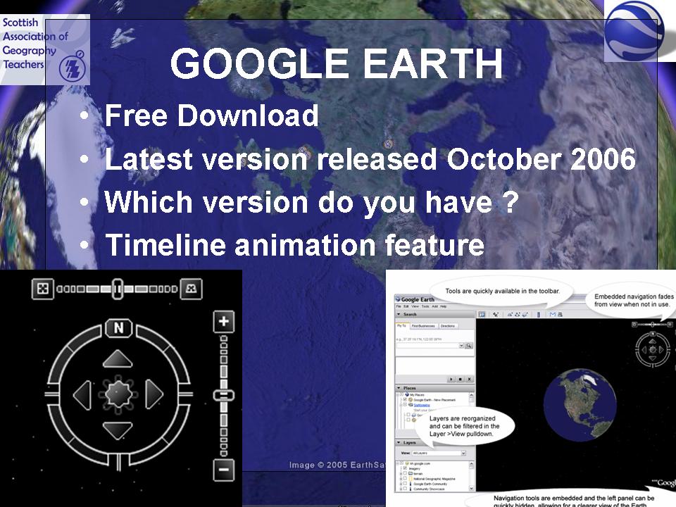
Quite a lot of people are still using Version 3 of Google Earth. You're missing out on the latest features !
SAGT Presentation Slides 13-16
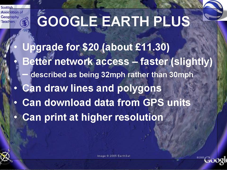
Of course now, with the new updated version of GE4, you get lines and polygons for free.

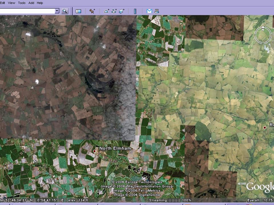
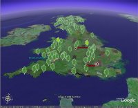
This slide demonstrates that there is varying coverage in the UK of high quality images, and that some of the ideas will be compromised by the quality of the images in particular areas of the country.
Ollie Bray has posted his presentation, which has a whole host of ideas, including Google Earth.
He has also created a series of different video casts, which require various Quick Time plugins (or not....) This is 1 hour and 40 minutes which is well worth watching.
Subscribe to:
Posts (Atom)