Showing posts with label SAGT. Show all posts

Saturday, September 02, 2017

SAGT Conference 2017


The booking form and programme for the 2017 SAGT Conference has now gone live.
I've been a regular attendee at this conference since 2005, but have missed the last few as I have been elsewhere... This year, I will be in Madrid, so unable to attend. I'm hoping to be back next year.


As you can see, there's a keynote by Tom Heap, and various workshops, all for a good price, and with free minibus pick-up from Stirling train station, which is a great help. There will also be 'hot spots' where teachers share practice.
A great day of learning and inspiration for all.

Book tickets now via Eventbrite.

Follow SAGT on Twitter @SAGTeach

Earlier that month there is also the ESRI Scottish user conference in Perth.
Addy Pope will be leading a seminar on ArcGIS Online at SAGT conference.

Wednesday, November 08, 2006

Google Earth Presentation on You Send It

For a limited time, my SAGT presentation (without the annotations on the blog) can be downloaded via YouSendIt.
Get in quick by clicking the link HERE. As Tom Biebrach has said "it's almost like being there", except for the bad jokes and the irreplacable experience of meeting me for real...

Also heard from Quentin d'Souza, who works over in Toronto, Ontario, who has produced a number of interesting resources. He has passed on details of a SLIDE SHARE file which is the first stage of a planned online tutorial for using Google Earth: one to watch.

And finally for this post, over on Juicy Geography, Noel Jenkins has now added FLASH TUTORIALS to his San Francisco Google Earth resource looking at earthquake susceptibility. This is a fine resource. Please support Noel and his work!
Saturday, November 04, 2006

SAGT Presentation Slides 1-4


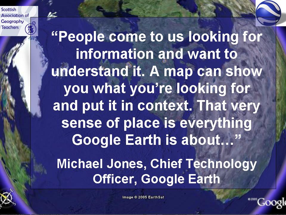
This quote was up on the screen as delegates listened to the introduction to my session. Thanks to Liz Crisp, who teaches in Aberdeen, and Ken Muir , HMiE who introduced my 2 sessions and also spoke a few words at the end. Thanks also to all those who attended. If you have any further questions, see the GeographyPages website for e-mail details.
The quote was taken from an article with Michael Jones, Technology Officer with Google Earth, and was taken from an article on CNN News site.
The title slide, followed by the aims of the workshop. Notice the mention of 'my favourite price'..
The Photo Jam introduction was played as delegates came in, along with Sigur Ros music, which I've used for some time, but has become synonymous with the Planet Earth series.
To see the presentation without music, go to this online link for a PHOTOJAM view.

I also mentioned this article, which shows President Bush confessing that he uses "the Google"...

SAGT Presentation Slides 5-8


It's important for me to publicise the support given by RGS-IBG. It was also good to see Judith Mansell, the Education officer present at the conference too, although Parcelforce managed to lose all her materials (twice!)


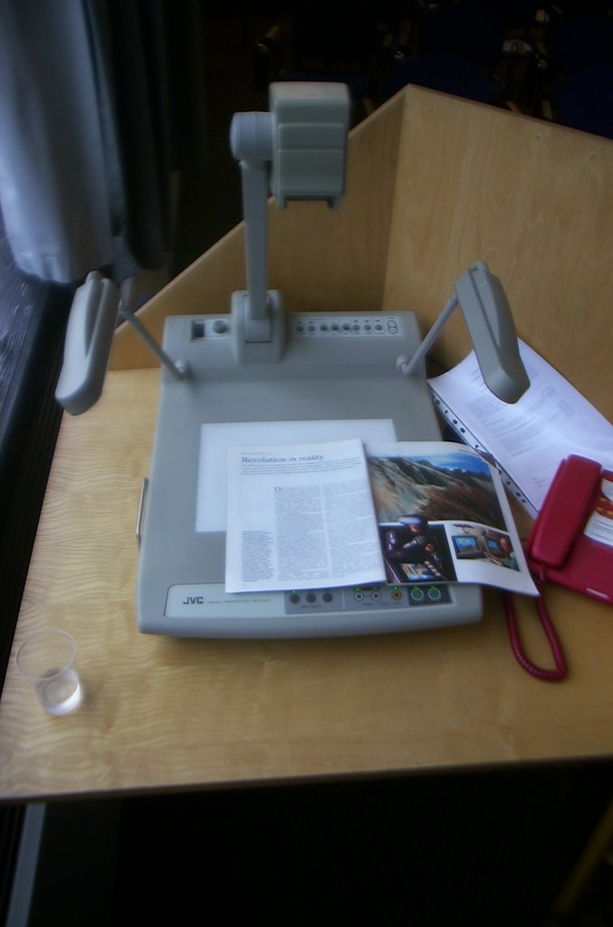
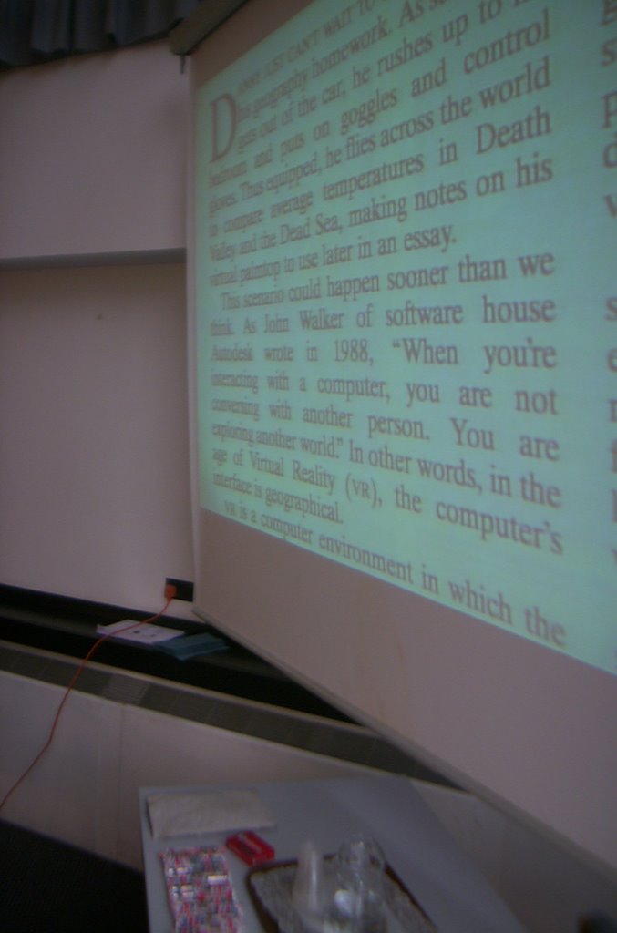
I held up a copy of the Geographical Magazine from 1994. Except, I discovered that one of the tools that I had access to in the lecture room was a visualiser. Worked well the first time anyway. Recommended purchase for the department I think...
The article refers to someone called Danny, who "can't wait to do his geography homework" because he is able to explore a virtual world...

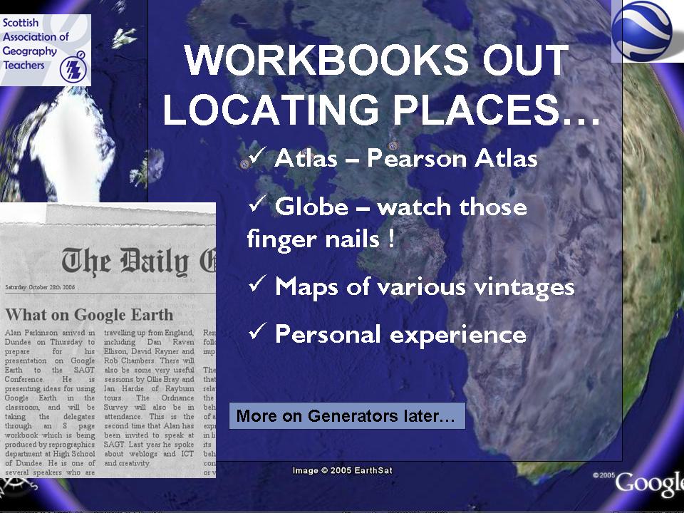
The Workbooks referred to are available to download by going to GEOGRAPHYPAGES. They are available in Word and PDF format.
Plenty of Generators to add interest are available at the GENERATOR BLOG.


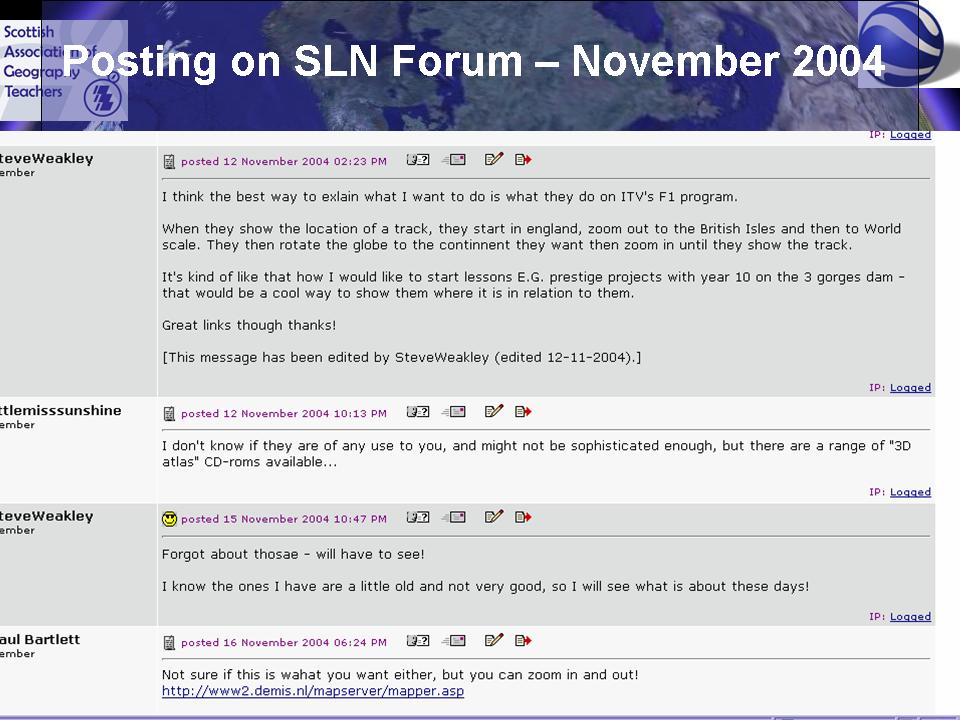
This is a posting on the SLN forum from 2004, where someone wanted to do something which then became possible once Google Earth launched. The SLN forum has plenty of threads relating to Google Earth which have developed over the last 18 months.

SAGT Presentation Slides 9-12


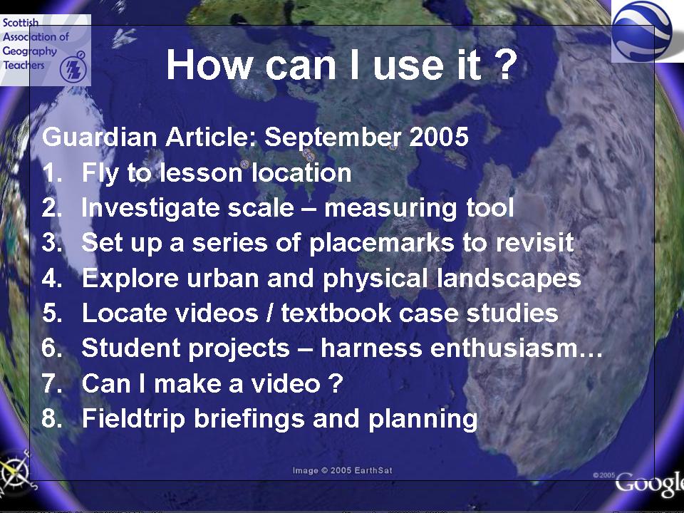
I had an article featured in The Guardian's Brainstrust section explaining how I used placemarks to fly students to the location of the lesson.

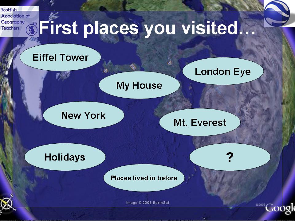
Where were the first places you visited ??

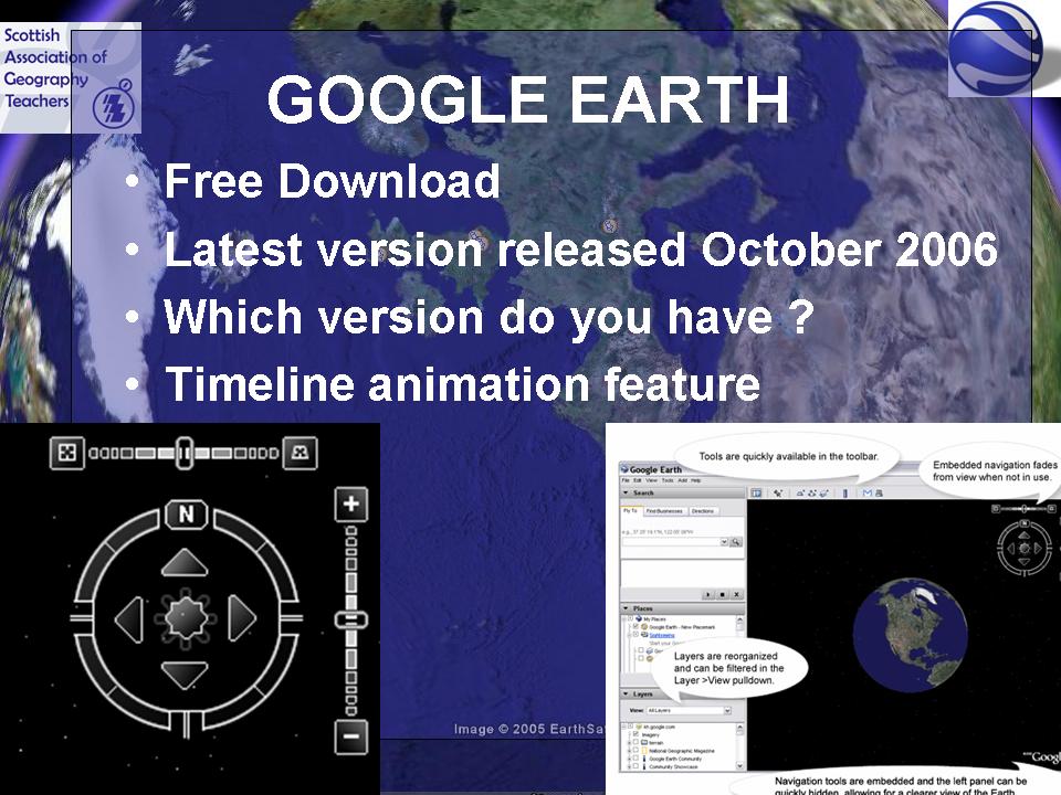
Quite a lot of people are still using Version 3 of Google Earth. You're missing out on the latest features !

SAGT Presentation Slides 13-16


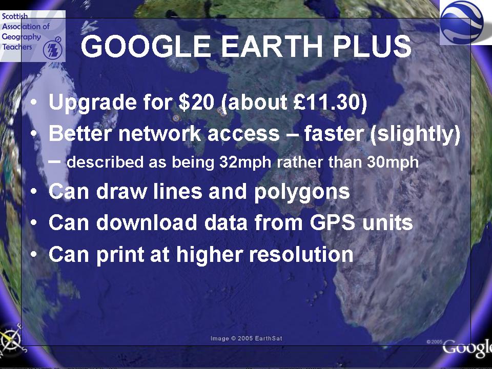
Of course now, with the new updated version of GE4, you get lines and polygons for free.
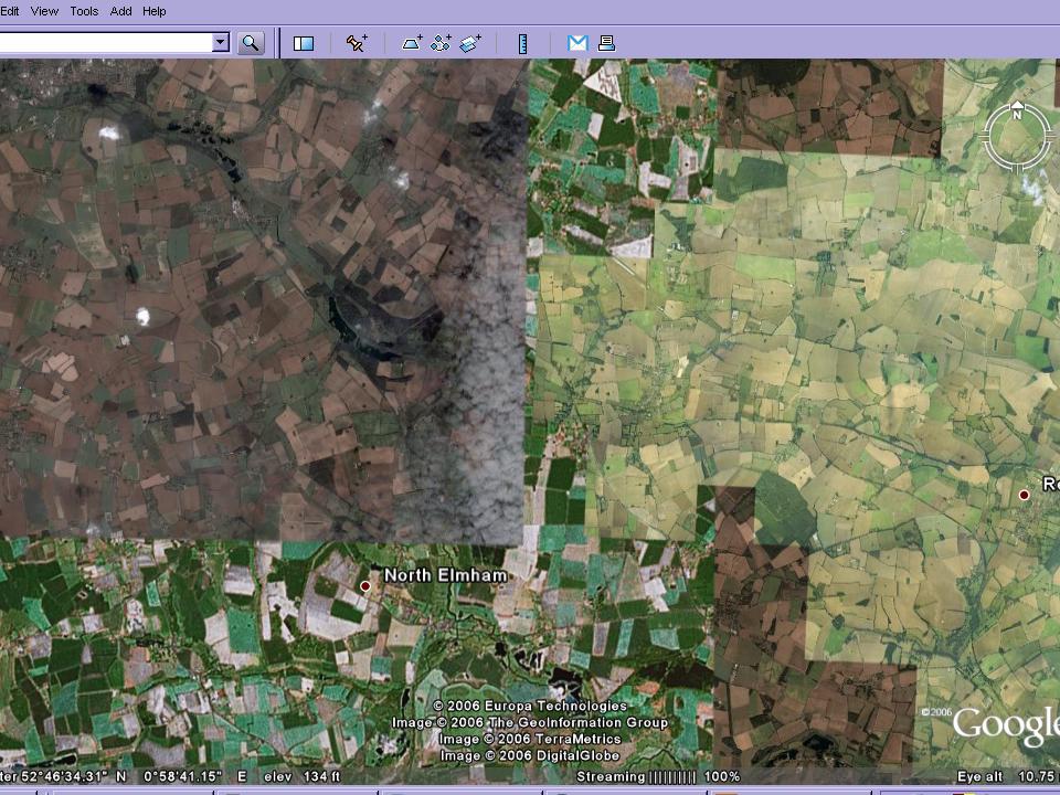
This slide demonstrates that there is varying coverage in the UK of high quality images, and that some of the ideas will be compromised by the quality of the images in particular areas of the country.
Ollie Bray has posted his presentation, which has a whole host of ideas, including Google Earth.
He has also created a series of different video casts, which require various Quick Time plugins (or not....) This is 1 hour and 40 minutes which is well worth watching.


SAGT Presentation Slides 17-20


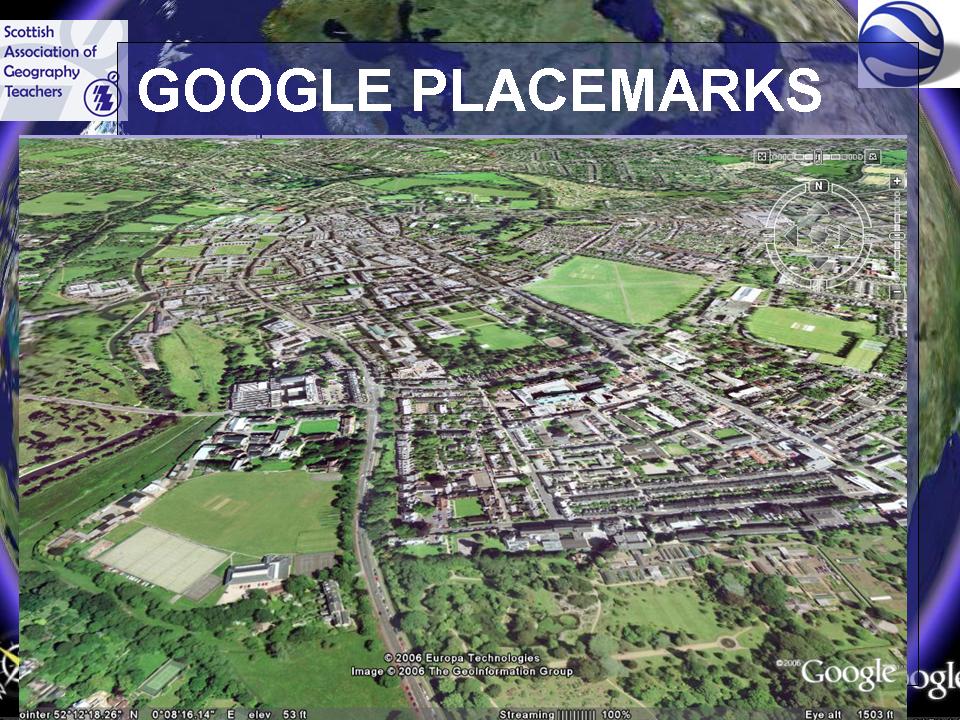
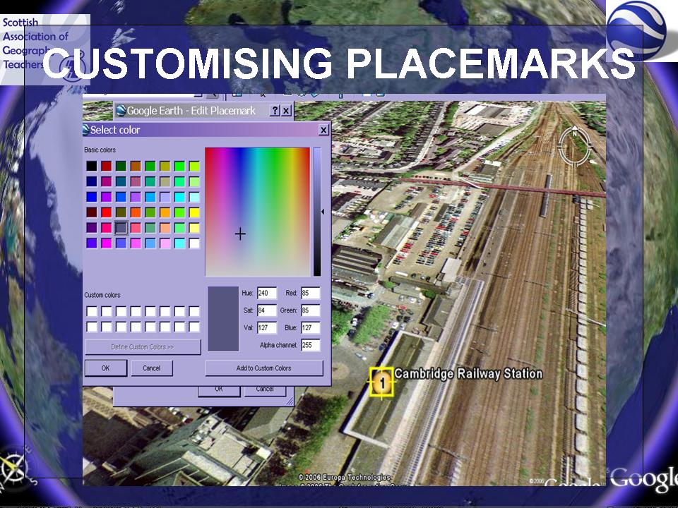
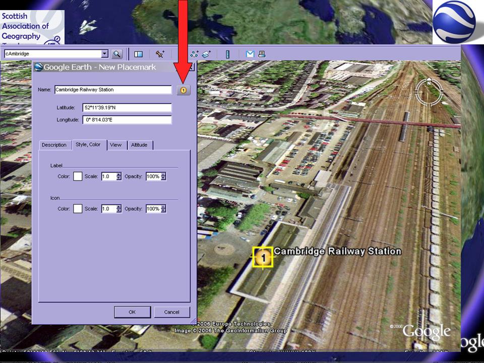
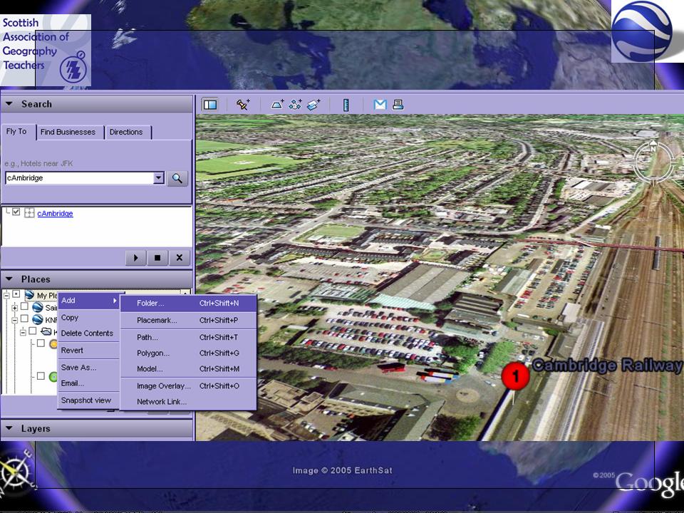
Good imagery of Cambridge. This section looks at Placemarks in the context of a fieldtrip to Cambridge. Good placemark to customise.
How you can add images, colours, audio and video to placemarks. Changing size and colour of text.

SAGT Presentation Slides 21-24


How to customise placemarks continued...

Many people would only ever use the pushpin version. Click on the pushpin, right click for properties for the changes that you can make.The image of bicycles is hosted on Flickr. Had a comment posted on it, which said that someone had had their bike stolen from that particular bikeshed.

Noel Jenkins and Gavin Richards have both posted examples of how to customise placemarks to add other digital content.
A close up view of the Google Moon, while I took a picture of the audience...

SAGT Presentation Slides 25-28


Quentin D'Souza over at TEACHING HACKS, has produced a useful video introduction to using GOOGLE EARTH in the classroom.

http://www.eyespot.com/ is a new site allowing you to edit video online - could make little Google Earth movies of placemarks that have been located, or for starters to lessons...

Recommend you get yourself a weblog.
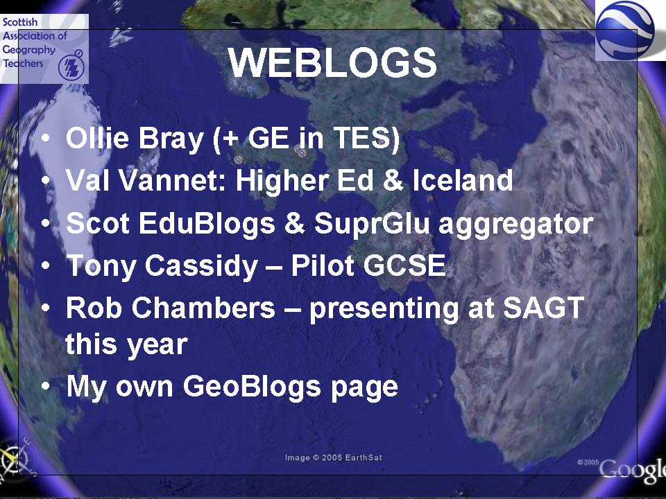
I started the GeoBlogs project in 2003, and people are finally catching on to the fact that they are a great way to communicate with students...


Some good examples of weblogs:

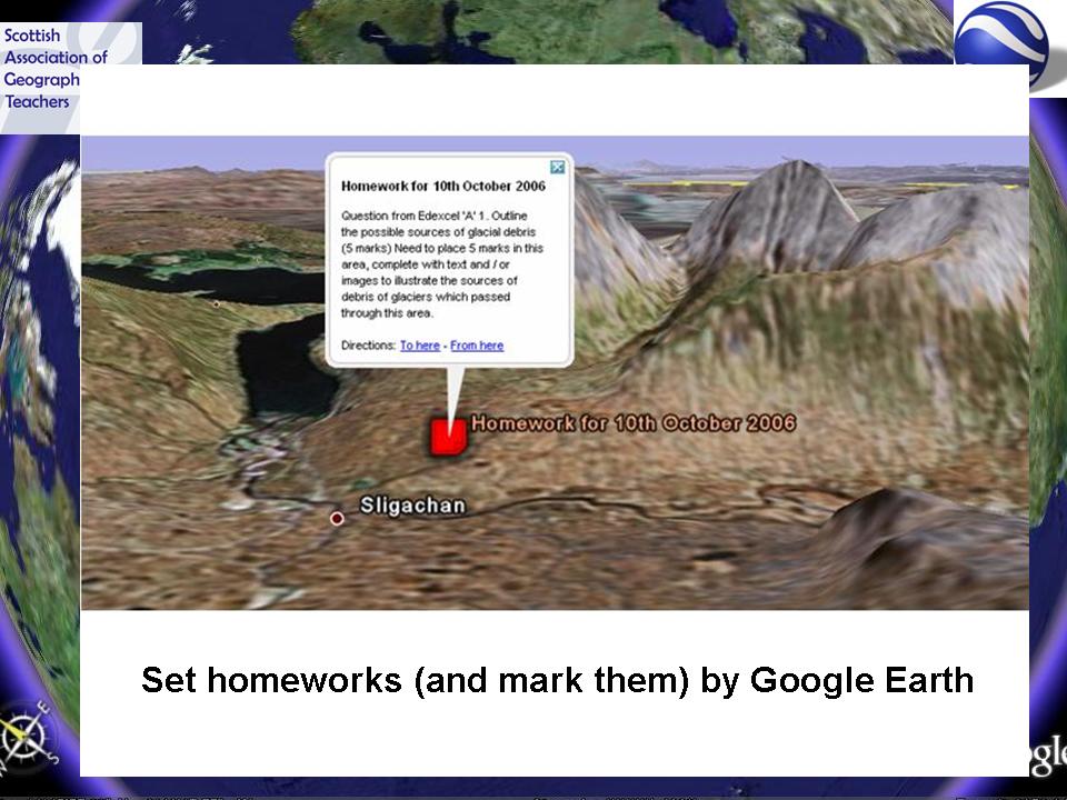
Here's one of my better ideas of recent weeks: marking homeworks and setting homeworks in the form of Google Earth KML files...
Could also include geo-tagged images using Picasa web albums (more on this later...)

SAGT Presentation Slides 29-32


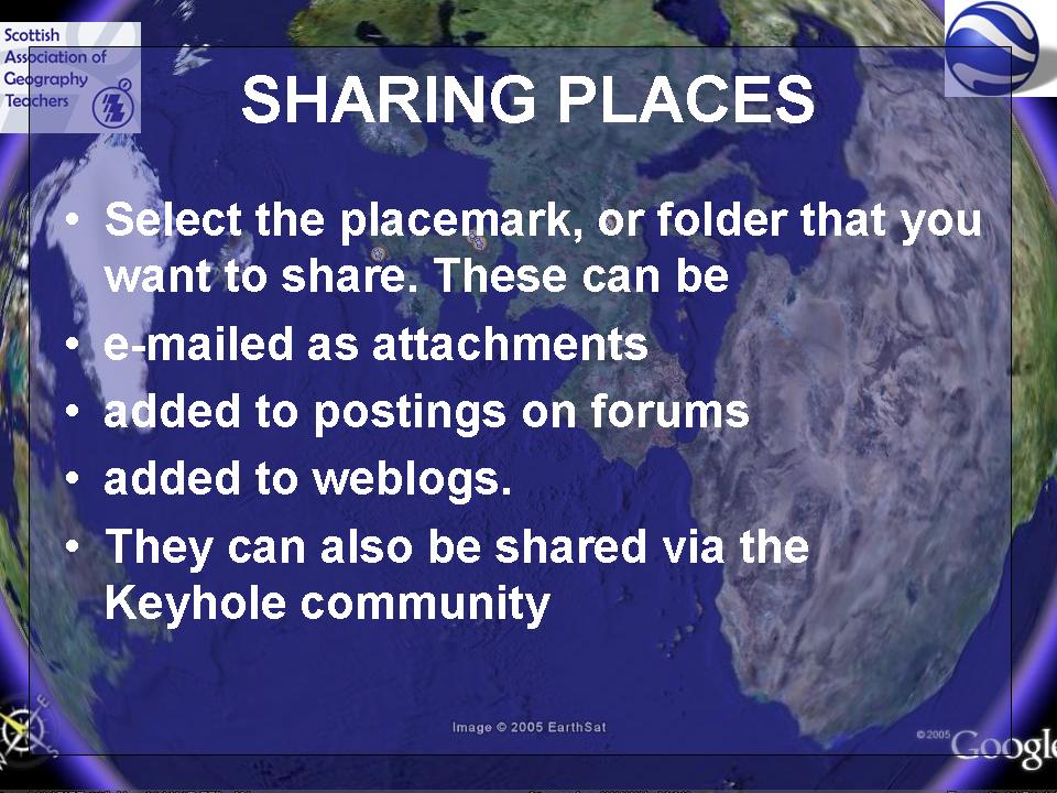
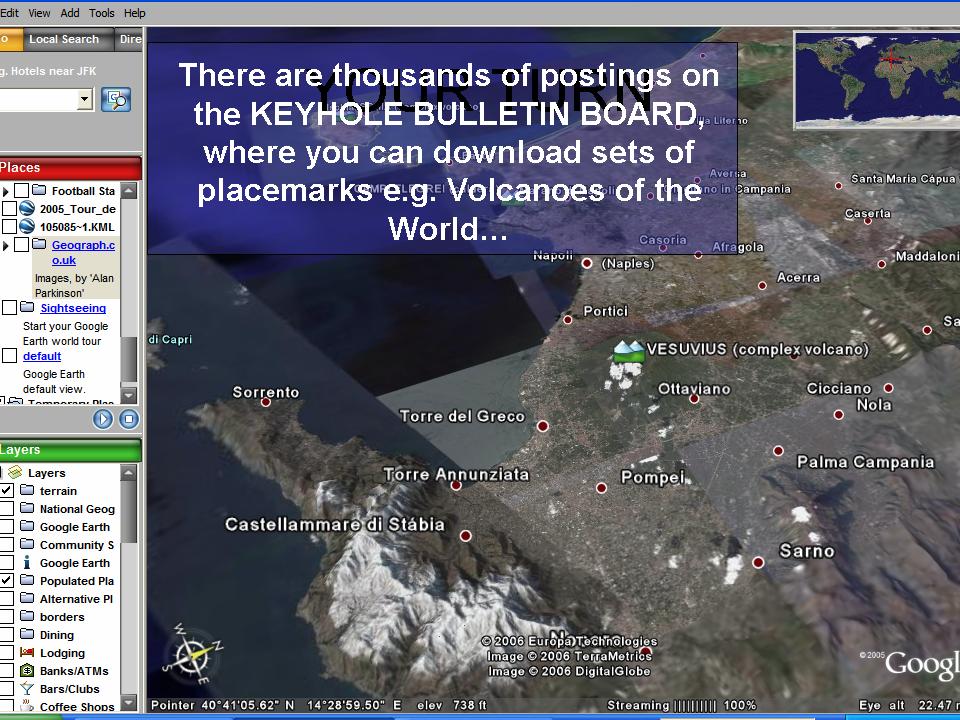
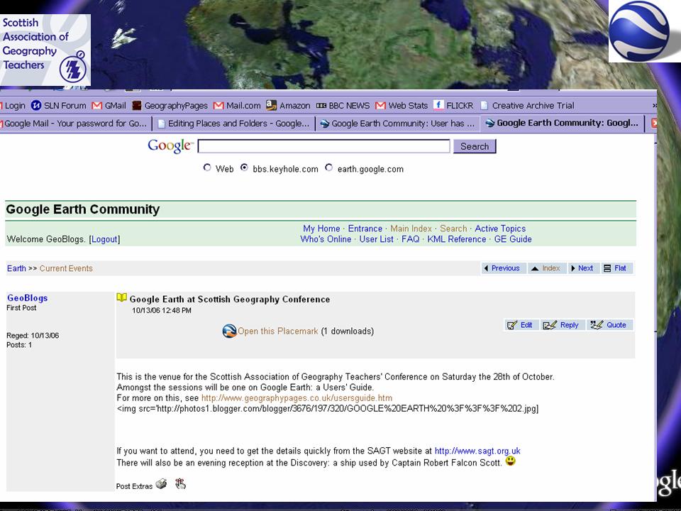
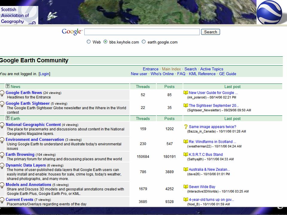
Demonstration of how to share a placemark with the thriving and generous Keyhole Bulletin Board community. Some very creative people here who have produced lots of interest for Geographers...

SAGT Presentation Slides 33-36


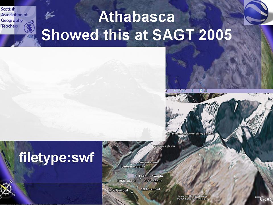
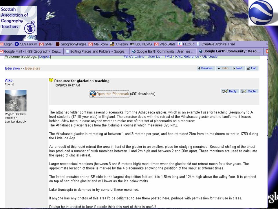
This demonstrates the use of the Athasbasca glacier file I demonstrated in my ragbag of ideas at SAGT 2005 (a sort of precursor of Ollie's presentation this year) - also the old Google search tip of filetype:swf to find the FLASH animations.
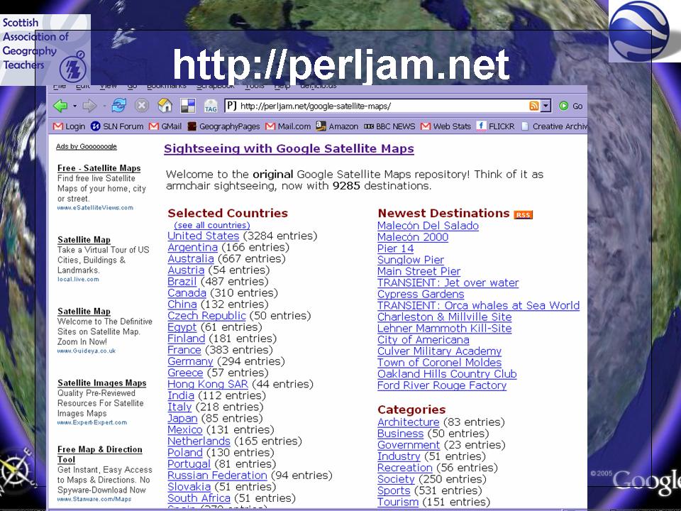
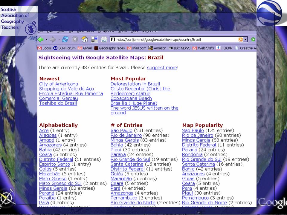
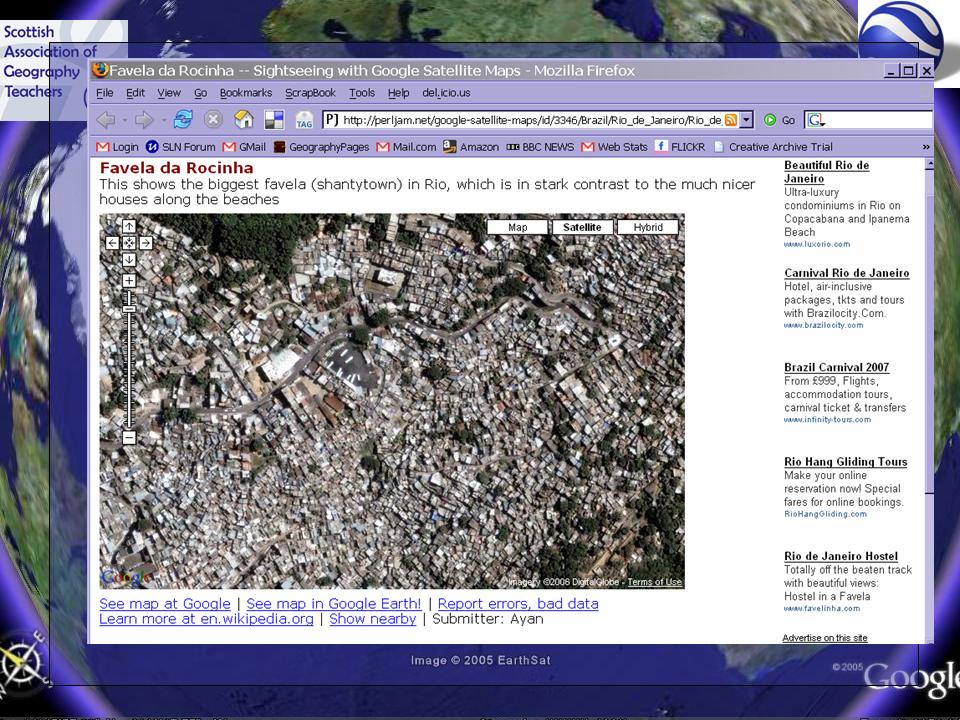
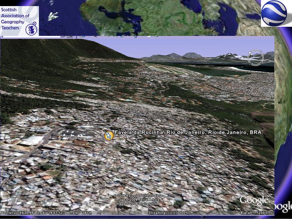
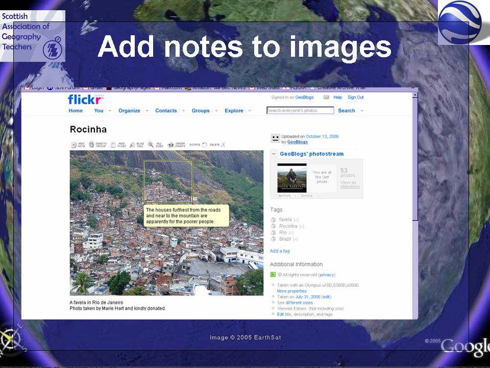
I then showcased some excellent images which were provided by Marie Hart of Barnwell School, Stevenage. She took a favela tour of Rocinha in Rio de Janeiro, and I then thought about how to use those to create a favela tour in Google Earth. It also showed the website PERL JAM, which contains hundreds of excellent maps of cities around the world which can also be shown in Google Earth.

SAGT Presentation Slides 37-40


SAGT Presentation Slides 41-44

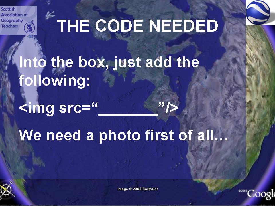
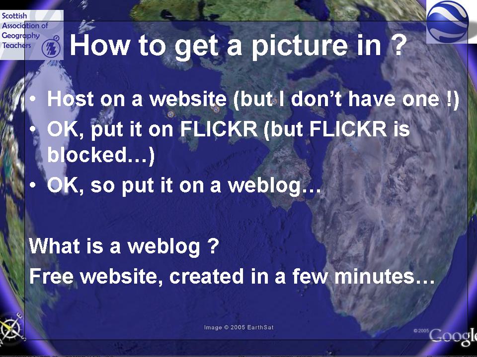
How to add the Favela picture ? Using FLICKR to host the image. FLICKR also allows the use of notes on images to add more detail. Students could be asked to add notes to images. Perhaps as tracing or OHT overlays, or using callouts in Word if FLICKR is blocked (as it is at my school)


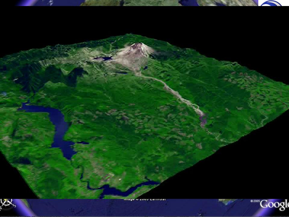
This is a movie flight around Old St Helens. Movies are best done in the form of a tour as the flight can then be controlled and the views that are required can be set up in advance.