Showing posts with label Latitude and Longitude. Show all posts
Showing posts with label Latitude and Longitude. Show all posts
Sunday, December 01, 2013

Saturday, November 04, 2006
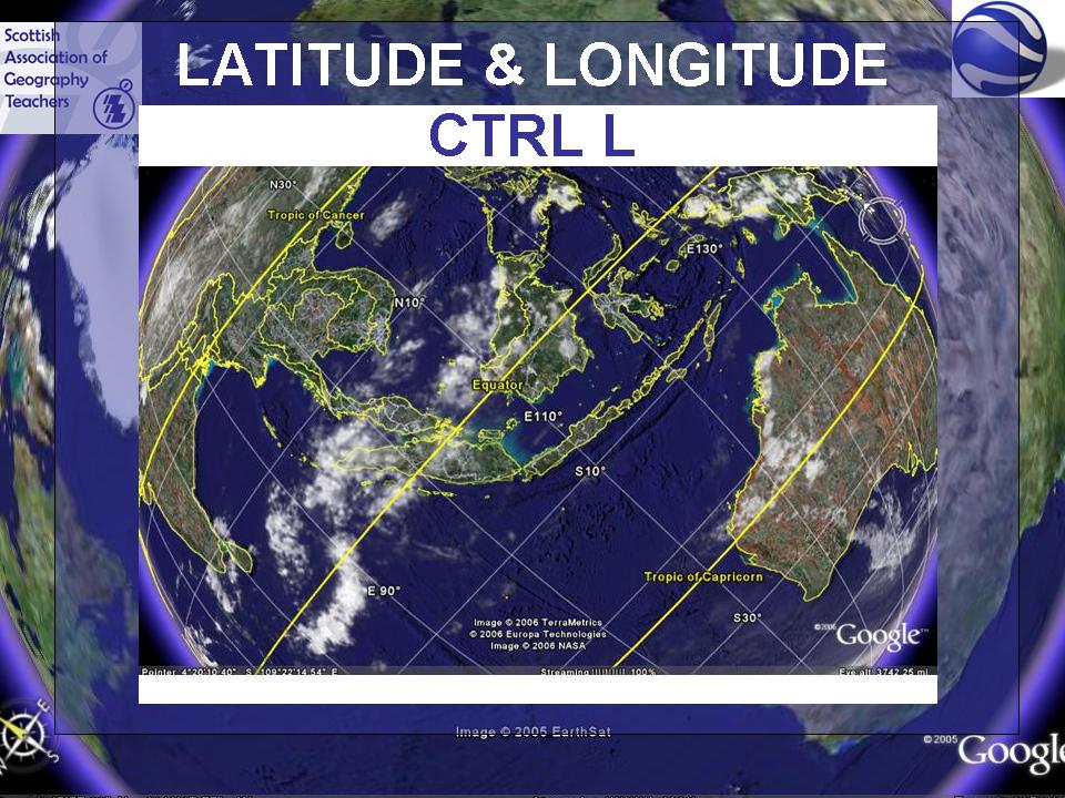
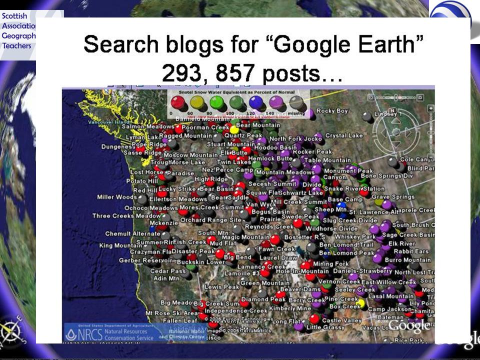
SAGT Presentation Slides 65-68

 This slide had a series of images of the Palm slowly emerging from the sea, which delegates were invited to identify as soon as they could.
Noel Jenkins has posted a series of excellent lessons making use of Google Earth overlays and KML files at his Juicy Geography site - more later.
Subscribe to:
Posts (Atom)