Of course now, with the new updated version of GE4, you get lines and polygons for free.


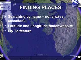
This slide demonstrates that there is varying coverage in the UK of high quality images, and that some of the ideas will be compromised by the quality of the images in particular areas of the country.

Ollie Bray has posted his presentation, which has a whole host of ideas, including Google Earth.
He has also created a series of different video casts, which require various Quick Time plugins (or not....) This is 1 hour and 40 minutes which is well worth watching.
No comments:
Post a Comment